
Limited time offer
€26.91
€29.90
NEW
-10%
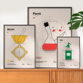
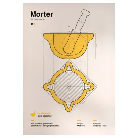
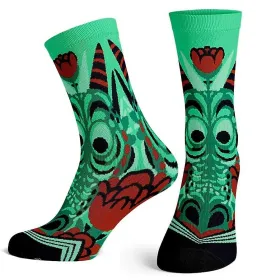
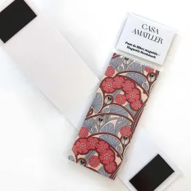
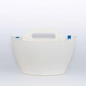
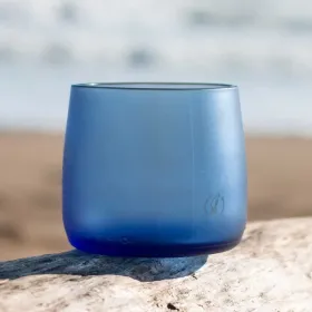
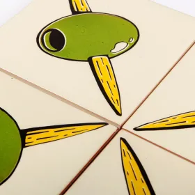
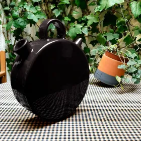
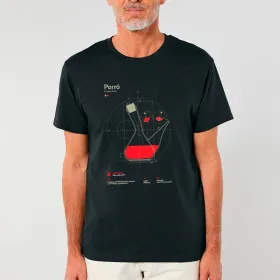
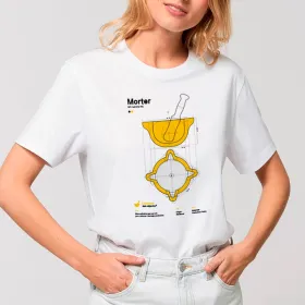
The Memory of Objects T-shirts are a small tribute to the everyday objects that are part of our history and that we believe deserve to be remembered, claimed and elevated to the category of design objects, such as the...